Kent County Council has issued three ‘Definitive Map Modification Orders’ relating to rights of way between Goodnestone and Staple.
These cover the following routes:
- The route between Claypits and Staple Church, currently a footpath, which it is proposed will be redesignated as a Bridleway. Link to Kent County Council Modification Order.
- The route from the junction of Saddlers Hill and Cave Lane as far as the bridleway to Crixhall Court. This is currently a bridleway and it is proposed this route is redesignated as a restricted byway. Link to Kent County Council Modification Order.
- A new route between the end of the bridleway to Crixhall Court and Staple Road at Twitham Farm. This route is to be designated as a Restricted Byway for most of its length and a Byway Open to All Traffic for a short stretch near Twitham Farm. Link to Kent County Council Modification Order.
In each case, Kent County Council has a consultation that is open until 10th October 2022. If objections are received, the matters will be referred to the Secretary of State for the Environment, Food and Rural Affairs for determination. Details of how to object are included in the Modification Orders that are linked above.
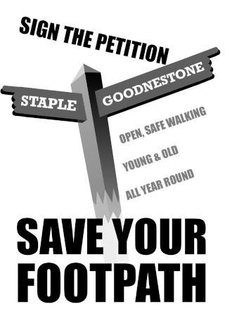
Some residents are very concerned that use of the Claypits to Staple path as a bridleway will mean that the path ends up almost impassible for walkers. There is a petition in the village, a copy of which can be signed in the Fitzwalter Arms pub, in Claypits at the end of the footpath, or you can download a copy of the petition here.